Seasonal guide
Bahamas Hurricane Season: How Storms Form and What to Know
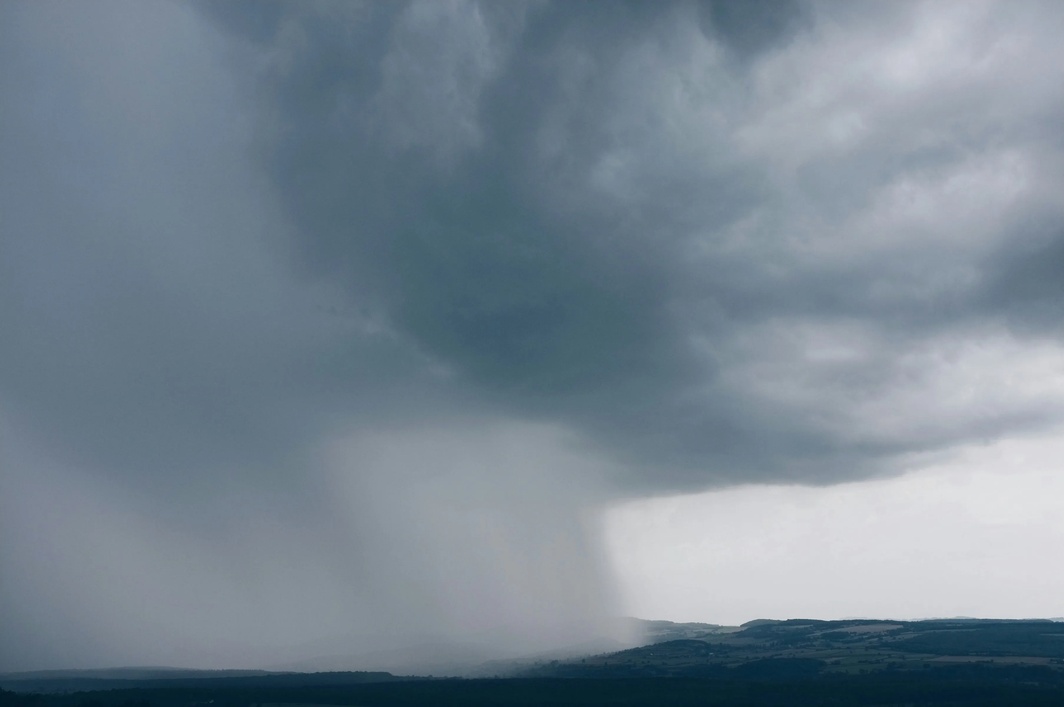
Bahamas hurricane season runs from June 1 to November 30 every year — the same six-month window NOAA assigns to the whole Atlantic basin. That sentence alone drives a lot of cancelled bookings, and it shouldn’t. The season is real, the risk is real, and the Bahamas have lived through some of the most powerful Atlantic storms on record. What the calendar label doesn’t mean is that every June-to-November trip sits under a storm. Pulled from real conversations happening in our Bahamas rental group, this guide covers how those storms actually form, which ones shaped Bahamian memory, and what travelers should watch for — then points you to our hurricane season planning page for the booking terms and insurance details worth settling before you pay a deposit.
In this guide:
- When Bahamas hurricane season actually runs
- How Atlantic hurricanes form
- The biggest hurricanes in Bahamian history
- What the season feels like on the ground
- What travelers should actually watch for
- How this connects to booking and insurance
When Bahamas hurricane season actually runs
The official Atlantic season is fixed: June 1 through November 30. Inside that window, activity is anything but even. According to the National Hurricane Center’s tropical cyclone climatology, a typical Atlantic season (1991–2020 average) produces about 14 named storms, 7 hurricanes, and 3 major hurricanes — and the bulk of that energy stacks into roughly six weeks from mid-August through mid-October, with the statistical peak around September 10.
For a Bahamas trip, that shape matters more than the start date:
- June–early July — historically quiet. Named storms this early are uncommon, and ones that reach the Bahamas are rarer still.
- Late July–August — activity builds. This is when checking the tropics starts to earn its keep.
- September — the peak. Warmest water, lowest rental rates, and the highest odds of a named storm somewhere in the basin.
- October–November — risk falls, but late-season storms still form, sometimes closer to the islands than the classic Cape Verde track.
A season describes when storms are possible across a very large ocean. It does not describe the weather on your specific island on your specific week. Most trips taken inside the window come home with nothing more dramatic than hard afternoon rain.
How Atlantic hurricanes form
Hurricanes are not random weather. They need a short list of conditions, and when those line up over the tropical Atlantic, the same sequence tends to repeat.
The ingredients
A tropical cyclone needs warm ocean water (generally about 80°F / 26.5°C or warmer through a deep enough layer), enough atmospheric moisture, a pre-existing disturbance to organize around, and relatively light wind shear so the storm’s vertical structure can stay intact. Take any one of those away and development stalls. That is why early-season systems often fail: the water is warming, but shear or dry air still wins.
 Photo: Fabio Fistarol / Unsplash
From wave to hurricane
Most Atlantic storms begin as tropical waves — clusters of thunderstorms that move west off the African coast into the open Atlantic. If conditions favor development, the sequence looks like this:
- Tropical disturbance / depression — a rotating system with sustained winds of 38 mph or less.
- Tropical storm — sustained winds of 39–73 mph. This is when the system gets a name.
- Hurricane — sustained winds of 74 mph or higher.
- Major hurricane — Category 3 or above on the Saffir–Simpson scale (111 mph+).
The jump between categories is larger than the numbers suggest. A Category 1 disrupts a vacation. A Category 4 or 5 rewrites an island’s infrastructure for months or years.
Why the Bahamas sit in the path
Once a storm is organized, upper-level winds steer it. Systems forming between roughly 5° and 30°N often track west or west-northwest across the tropical Atlantic. Some recurve north into the open ocean. Others keep west toward the Bahamas, Florida, or the Gulf. The Bahamian archipelago — hundreds of islands and cays spread across a wide stretch of warm, shallow water — sits right along several of those common tracks. That geography is why Bahamian history includes both glancing tropical storms and a handful of catastrophic landfalls, not a steady drumbeat of direct hits.
Storm surge, not just wind, is usually the deadliest piece. Shallow banks and low-lying cays give surge room to build; a slow-moving storm (Dorian’s stall is the textbook case) multiplies the damage because the same coastline takes hours or days of pounding instead of a single pass.
The biggest hurricanes in Bahamian history
The Bahamas have taken direct hits for as long as records exist. A few storms define how locals, hosts, and long-time visitors talk about risk.
Hurricane Dorian — September 2019
Dorian is the storm every modern Bahamas plan is written against. Per the National Hurricane Center’s tropical cyclone report, it made landfall at Elbow Cay, Great Abaco, as a Category 5 with estimated sustained winds near 185 mph and a central pressure of 910 mb — the strongest hurricane in modern records to hit the northwestern Bahamas. It then crossed Grand Bahama and stalled, holding catastrophic conditions over the same islands for an extended period instead of racing through.
The human and economic cost was enormous: widespread destruction on Abaco and eastern Grand Bahama, tens of thousands of people displaced, and damage measured in the billions. Parts of those islands were still rebuilding years later. If someone in a rental conversation mentions “after Dorian,” this is what they mean.
Hurricane Andrew — August 1992
Andrew is famous for what it did to South Florida, but it hit the Bahamas first. It struck Eleuthera as a Category 5, then moved through the Berry Islands as a still-major hurricane before crossing Florida. Hundreds of homes were destroyed in the Bahamas, and the storm remains one of the reference points for how fast a Cape Verde–type system can intensify on the approach.
Frances and Jeanne — September 2004
Two major storms in the same month. Frances crossed the archipelago as a Category 3 and was widely described as the first storm in well over a century to affect nearly the entire Bahamas chain. Power outages were extensive; crops and infrastructure took heavy damage. Jeanne followed later in September and struck the northwestern Bahamas as a major hurricane. Together they hammered home that one season can deliver more than one serious event — and that “the storm missed us” one week does not retire the calendar.
Hurricane Michelle — November 2001
A late-season reminder. Michelle weakened before reaching the Bahamas but still brought serious flooding, widespread outages, and heavy rain — Nassau recorded well over a foot of rain in places. November is quieter than September; it is not risk-free.
Hurricane Betsy — September 1965
Betsy smashed the northern Bahamas as a high-end Category 4, with extreme gusts recorded in the Abacos and significant flooding in Nassau. Damage ran into the millions even in 1965 dollars, much of it to crops and coastal property. Older Bahamians still use Betsy as a benchmark the way younger ones use Dorian.
The Great Abaco Hurricane — 1932
Before the satellite era, the 1932 Great Abaco Hurricane stands out in historical accounts as a catastrophic Category 5 that devastated Abaco. Exact modern measurements don’t exist the way they do for Dorian, but the storm sits in Bahamian memory as proof that the northwestern islands have always been exposed — Dorian was unprecedented in the instrumented record, not in the idea that Abaco can take a direct catastrophic hit.
The pattern across these storms is consistent: the worst outcomes come from a combination of major intensity, a track over populated islands, and — especially with Dorian — slow movement. A fast Category 2 that clips an uninhabited cay is a different animal from a stalled Category 5 over Freeport.
What the season feels like on the ground
For a visitor who never sees a named storm, Bahamas hurricane season mostly feels like summer: hotter air, warmer water, more humidity, and more short, hard rain showers than winter. Seas can kick up even without a named system. Boat trips cancel more often. Afternoon thunderstorms are normal, not a crisis.
What does change when a system is in the basin:
- Airlines issue change waivers days before landfall is certain — often while the forecast cone is still wide.
- Ferries and water taxis (Harbour Island, Exuma cays day boats, the Florida–Grand Bahama ferry) shut down earlier than commercial jets.
- Grocery shelves thin out on smaller islands once a watch is posted.
- Power and mobile service are fragile on Out Islands even after a glancing blow; a generator and water tank at a rental stop being luxuries and start being the trip.
- Tourism infrastructure reopens unevenly — Nassau’s airport and hotel stock usually recover first; a thinly served Out Island can take longer even after a lighter hit.
The honest framing: the season’s value proposition is warm water, thin crowds, and lower rates. The trade-off is not “you will get hit by a hurricane.” The trade-off is that you are booking into the window where flexible plans matter, and where a storm a hundred miles away can still cancel your pig-beach day or your outbound flight.
What travelers should actually watch for
You do not need to become a meteorologist. You do need a short checklist and the right sources.
Before you book
- Prefer dates in May, June, or early July if you want warm water with historically lower storm odds — or accept September/October prices only with cancellation terms you can actually use.
- Read our full hurricane season guide for the named-storm clause, insurance timing, and island-by-island logistics notes before money moves.
- If you’re comparing islands, remember that Grand Bahama is closest to Florida (easier to leave early) and still carries Dorian’s rebuilding story, while Nassau has the deepest flight network and usually reopens first.
In the week before you fly
- Check the National Hurricane Center outlook daily — not hourly. Early cones shift. Panic-refreshing helps nobody.
- Cross-check local guidance from the Bahamas Department of Meteorology and official preparedness updates at getready.gov.bs.
- Screenshot your airline’s change policy and your rental’s cancellation thread so you’re not hunting for them from a boarding-gate queue.
If a system is named while you’re already there
- A hurricane watch (conditions possible within about 48 hours) is the decision window for leaving.
- A hurricane warning (conditions expected within about 36 hours) is usually too late for an easy exit — follow your host and local authorities.
- Stay inside through the eye. Calm air overhead is not the end of the storm.
- Keep receipts. Insurance and airline claims run on paperwork.
Storm surge, flying debris, and post-storm isolation (no flights, no power, limited cash/card networks) are the traveler hazards that matter more than the category number on social media.
How this connects to booking and insurance
This post is the background — formation, history, and what to watch. The operational side lives on our Bahamas hurricane season page: month-by-month risk, the watch/warning timeline, the six contract terms worth insisting on, and how travel insurance actually behaves once a storm has a name.
Two points from that guide are worth repeating here because they come up constantly:
- Buy insurance before a storm is named. After that, it is generally treated as a foreseeable event.
- A cheap September week is only cheap if you can walk away from it. Get the named-storm clause in writing, tied to an external trigger (warning, airport closure, evacuation order), and be clear on refund versus credit.
If lower seasonal rates are part of why you’re looking at these months, run the numbers through the trip cost estimator and compare flexible vacation rentals against peak-winter pricing — the discount is real, and so is the need for terms that match the calendar.
The bottom line
Bahamas hurricane season is a defined Atlantic window, not a daily weather forecast. Storms form over warm water from tropical waves, strengthen when shear and moisture allow it, and occasionally — Dorian, Andrew, Frances, Jeanne, Betsy — rewrite the islands they hit. Most travelers who visit between June and November never face that. What they should face honestly is a booking strategy that assumes a storm is possible: the right sources on the week before travel, and cancellation terms that work when a cone appears on the map.
If you want a second set of eyes on a specific rental’s storm language before you pay a deposit, grab our free rental checklist — it’s the same questions we’d ask for a friend booking into these months.
This post contains affiliate links. If you book through one, we may earn a small commission at no extra cost to you — it helps us keep this guide (and our Bahamas rental community) running.
The Unpack Bahamas team
Trip notes and neighborhood guides drawn from a 12,000-member Bahamas rental community.